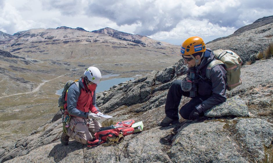
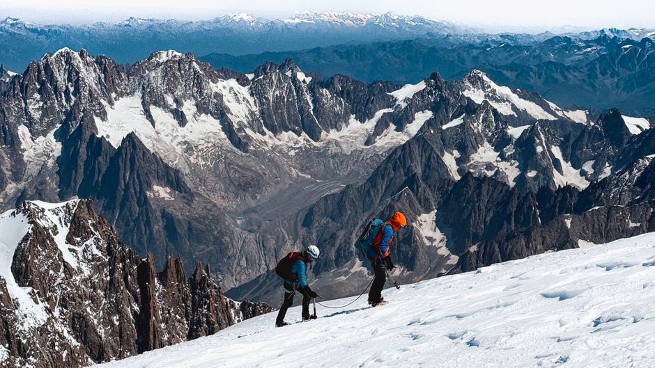
Two climbers navigate the rugged mountainous terrain using maps and equipment.

About Turkish Peaks

Turkish Peaks is a dedicated blog that compiles information on Turkey’s major mountain ranges. We address the gap in accessible English-language resources for travelers interested in mountain trekking across Turkey. Our content includes route overviews, altitude tables, seasonal weather patterns, and equipment checklists. Each article is prepared with reference to available geographical and meteorological data, allowing readers to plan their trips with a clearer understanding of conditions and terrain. The blog is updated regularly as new trail reports and elevation surveys become available.

Why Focus on Turkish Mountains?

Turkey’s mountain ranges offer a wide variety of landscapes, from the alpine meadows of the Pontic Mountains to the limestone peaks of the Taurus range. However, comprehensive English-language information has been limited. Turkish Peaks aims to centralize practical data such as trail difficulty, base camp locations, water sources, and altitude profiles. The content is organized to help trekkers and climbers evaluate routes based on their own experience and preparation level.

How We Approach Mountain Information

  1. Research

    We review topographic maps, weather records, and local reports to gather accurate data.

  2. Structure

    Information is organized into route summaries, elevation charts, and gear lists.

  3. Verify

    Data is cross-checked with multiple sources to ensure consistency.

  4. Publish

    Articles are written in clear English and made available for planning purposes.

Reader Feedback

Understanding Elevation and Terrain

Elevation is a critical factor in mountain trekking. Our articles include altitude tables for each route, showing the highest points, average gradient, and recommended acclimatization stages. We also describe terrain types—rocky paths, scree slopes, snowfields, and forested sections—so that readers can anticipate changes in walking surface. This data is presented in a comparative format, allowing users to evaluate multiple routes side by side before deciding on a destination.

Our Approach to Gear Advice

Gear recommendations on Turkish Peaks are based on typical conditions observed on each mountain range. We list essential items such as footwear, tents, cooking equipment, and navigation tools, along with notes on weight and durability. The advice is contextual—what works in the humid climate of the Kaçkar may differ from the dry environment of the Central Anatolian mountains. Rather than endorsing specific brands, we describe categories of equipment suitable for various elevation ranges and seasons.

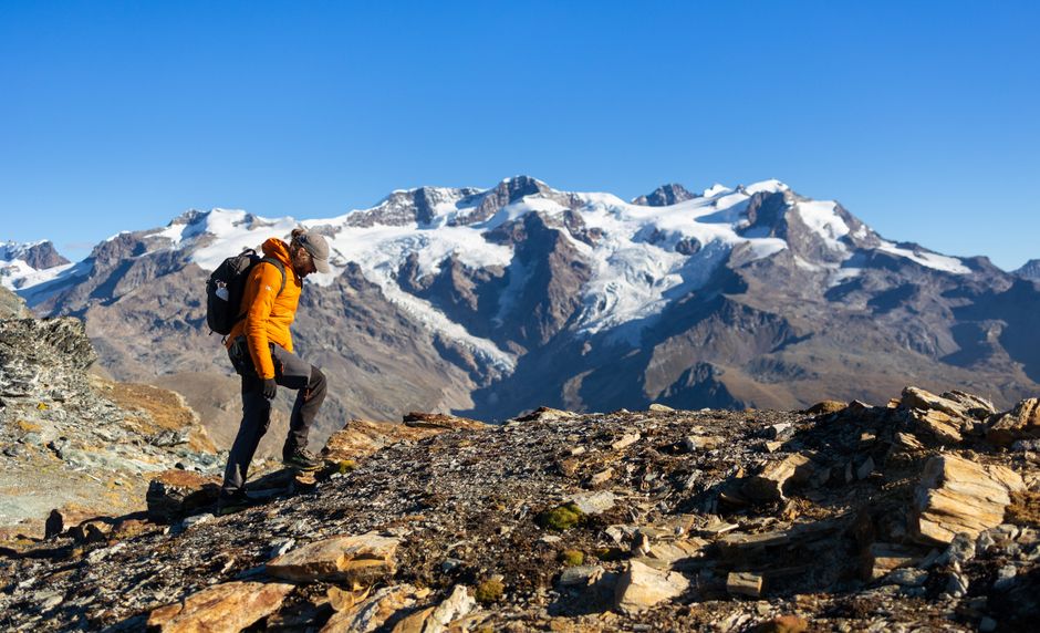
A hiker explores rocky trails in Staffal, Aosta Valley, with snow-capped Alps in the background.

Using Our Content for Trip Planning

  • 01

    Select Region

    Browse articles by mountain range or geographical area.

  • 02

    Check Route Data

    Review elevation profiles, distances, and estimated hiking time.

  • 03

    Review Season Notes

    Read about typical weather windows and trail accessibility.

  • 04

    Prepare Gear List

    Compile equipment based on terrain and altitude information.

Frequently Asked Questions

  • Do you provide real-time weather forecasts?
    We do not offer live weather updates. Our articles include average seasonal patterns that can serve as a general reference for planning.
  • Are the routes suitable for beginners?
    Each route description includes a difficulty rating and notes on required experience. Beginners are advised to start with lower-altitude trails.
  • How often is the content updated?
    We update articles when new topographic data or trail reports become available. Check the publication date for each piece.
  • Can I contribute my own route report?
    We welcome reader-submitted observations. Contact us through the form, and we may incorporate verified data into future articles.
  • Do you sell maps or gear?
    No. Turkish Peaks is purely an informational blog. We do not sell products or maps.
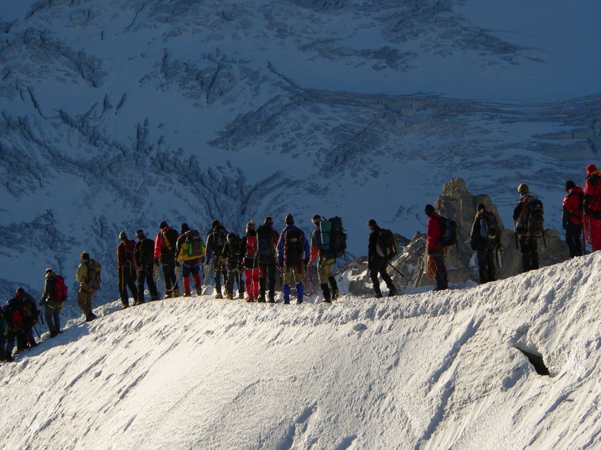
Group of climbers trekking on a snow-covered mountain, showcasing teamwork and adventure.

Our Editorial Standards

All content on Turkish Peaks is prepared with attention to accuracy and context. We cite sources where possible, including official elevation data and meteorological records. Articles are reviewed before publication to avoid outdated or contradictory information. The blog does not offer personalized advice or recommendations for specific trips. Readers are encouraged to verify conditions independently with local authorities and experienced guides before undertaking any trek.

Responsible Trekking

Mountain trekking involves inherent risks. Elevation, weather, and terrain can change rapidly. Turkish Peaks provides general information that may assist in planning, but each individual or group remains responsible for their own safety. We encourage readers to understand their own fitness level, carry adequate supplies, and leave no trace in natural environments. The data presented here is a starting point for further research.

Key Features of Turkish Peaks

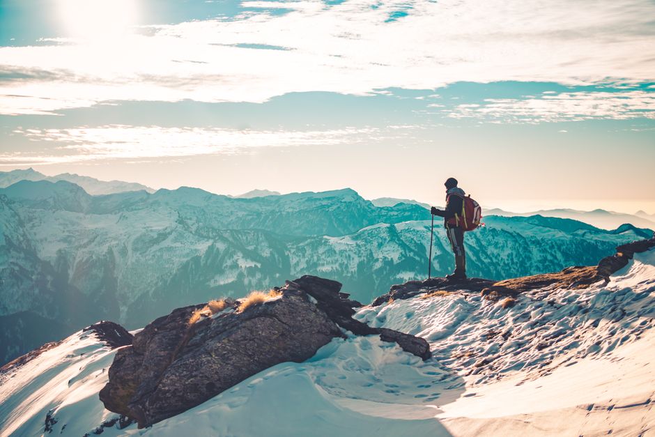
A lone hiker with trekking poles stands on a snowy mountain peak at sunrise.

Scenes from Turkey’s Mountains

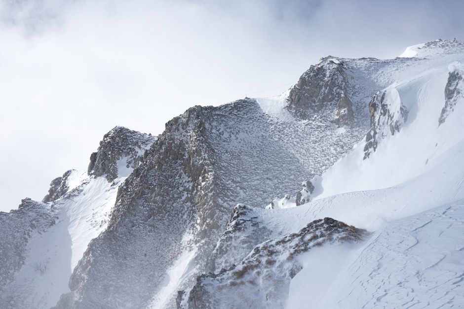
A selection of photographs showing the varied landscapes of Turkish mountain ranges — alpine lakes, rocky ridges, and forested approaches. Images are representative of typical environments described in our articles.
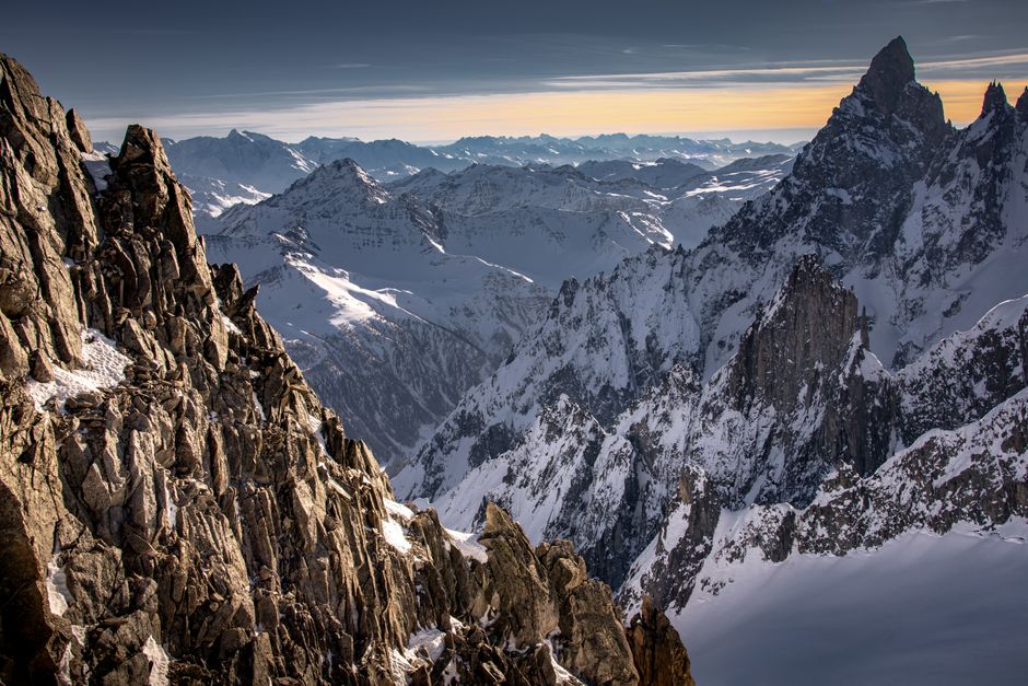
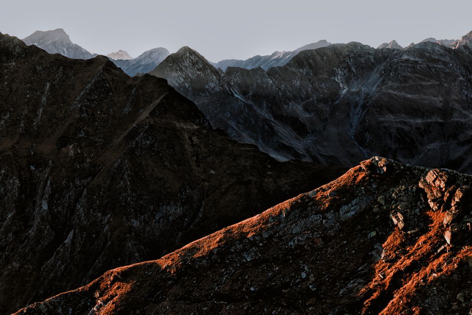
Stunning view of a mountain range at sunset with dramatic lighting and rocky terrain.
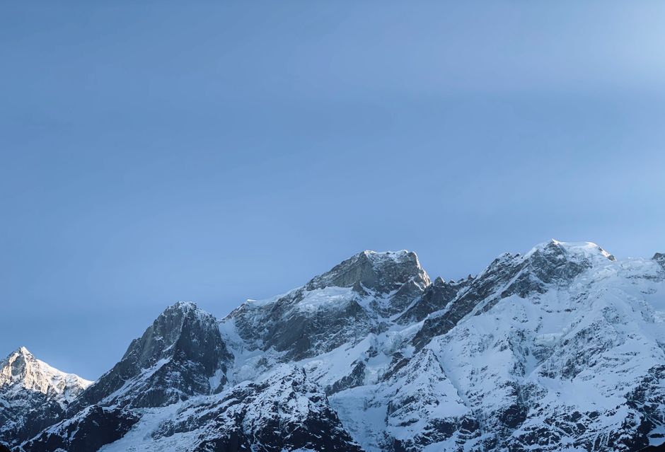
Breathtaking view of snow-covered mountains with clear blue sky backdrop, showcasing nature's beauty.
Breathtaking snowy peaks and alpine vistas in Chamonix, France.
High mountain peaks covered in snow, showcasing winter's beauty.

Who Is This Blog For?

Turkish Peaks is intended for trekkers, mountaineers, and outdoor enthusiasts who are planning trips to Turkey’s mountains. Our content may also be useful for researchers or students interested in the geography of the region. The blog does not assume prior knowledge of Turkish topography. We present information in a straightforward manner, focusing on data that can be applied during the planning phase of a journey.

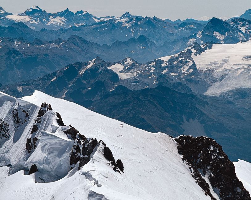
Two climbers scale the snowy slopes of Chamonix, France, amidst stunning alpine vistas.

Comparing Mountain Ranges

Each mountain range in Turkey has distinct characteristics. The Kaçkar Mountains in the northeast are known for their humid climate and lush valleys, while the Aladağlar in the south feature sharp limestone peaks with long, dry summers. The Bolkar Mountains offer a mix of high plateaus and rocky summits. Our articles provide side-by-side comparisons of elevation ranges, typical trekking seasons, and access points. This comparative format allows readers to evaluate which region might align with their schedule and preferences.

Planning Your Trek

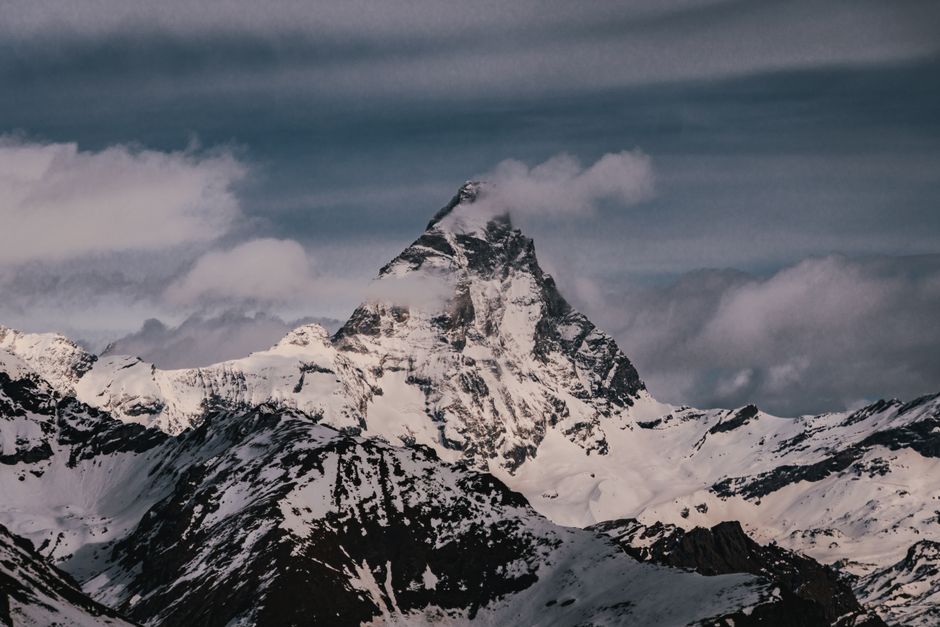
Majestic winter landscape of the Matterhorn peak in Aosta Valley, Italy, showcasing snow-covered mountains.
  • Navigation Tools

    Information on maps, GPS use, and waypoint references for each route.

  • Camping Spots

    Descriptions of commonly used campsites and water availability.

  • Temperature Ranges

    Average high and low temperatures by month for each region.

  • Access Roads

    Details on trailheads and road conditions for various starting points.

Get in Touch

Have a question, correction, or a route report to share? Use the form below to send a message to the Turkish Peaks editorial team.

Contact Form

We use cookies

We use cookies to ensure the proper functioning of the website, analyze traffic, and improve your experience. You can accept all cookies or reject them — the site will continue to operate. For more details, read our Cookie Policy.